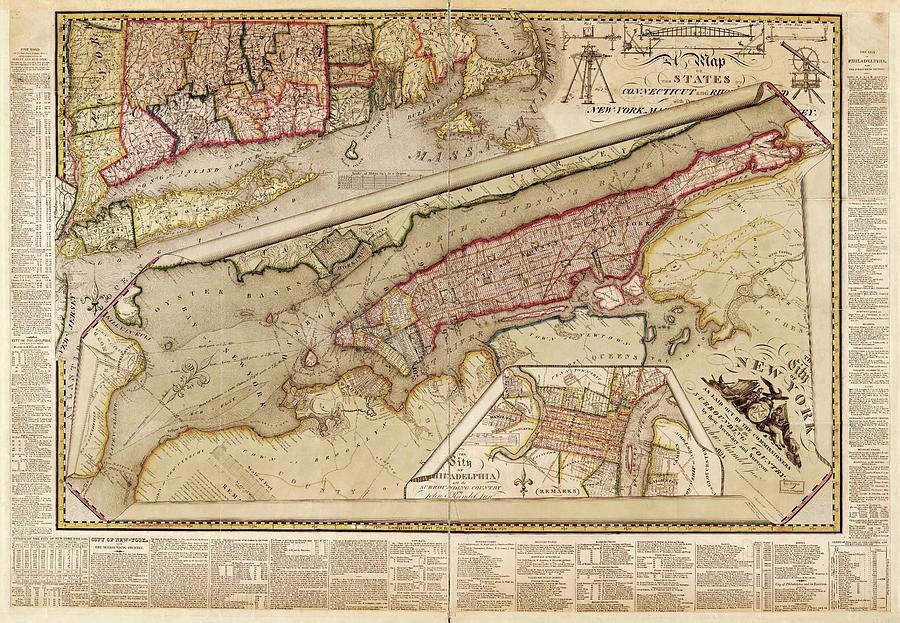
Map Of New York City

by Library Of Congress, Geography And Map Division
Title
Map Of New York City
Artist
Library Of Congress, Geography And Map Division
Medium
Photograph - Photograph
Description
Map of New York City. 19th-century map of the City of New York (as laid out by the Commissioners) with the surrounding country. This map dates from 1821. The main map shows all of Manhattan Island and parts of adjacent counties in New York and New Jersey. It shows existing and proposed streets, buildings, streams and political boundaries. Two ancillary maps are at upper left and lower right. At upper left is a map of the US States of New York, Connecticut, Rhode Island and Massachusetts. At lower right is a map of the city of Philadelphia. At top right are illustrations of surveying equipment. Extensive text surrounds the margins.
Uploaded
August 1st, 2016
Embed
Share
Comments
There are no comments for Map Of New York City. Click here to post the first comment.


