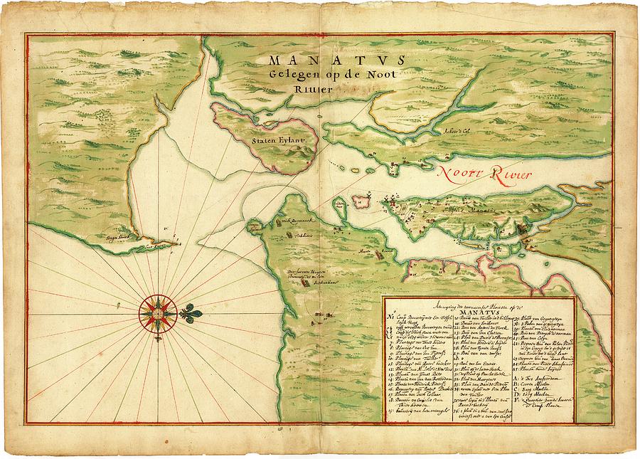
Map Of New York Bay

by Library Of Congress, Geography And Map Division
Title
Map Of New York Bay
Artist
Library Of Congress, Geography And Map Division
Medium
Photograph - Photograph
Description
Map of New York Bay. 17th-century map of New York Bay (north towards right), produced in 1670 by Dutch cartographer Johannes Vingboons (c.1616-1670). The first European settlers here were Dutch, part of New Netherland. They established New Amsterdam (later New York City) on Manhattan Island (centre right). At lower right is an index of buildings with the names of the householders. Dutch windmills are shown, as well as the long-houses of indigenous peoples. Staten Island is at upper centre, with the Hudson River and East River at right. Long Island is at lower right. Part of New Jersey is at upper left, with mainland New York at upper right.
Uploaded
July 22nd, 2016
Embed
Share
Comments
There are no comments for Map Of New York Bay. Click here to post the first comment.


