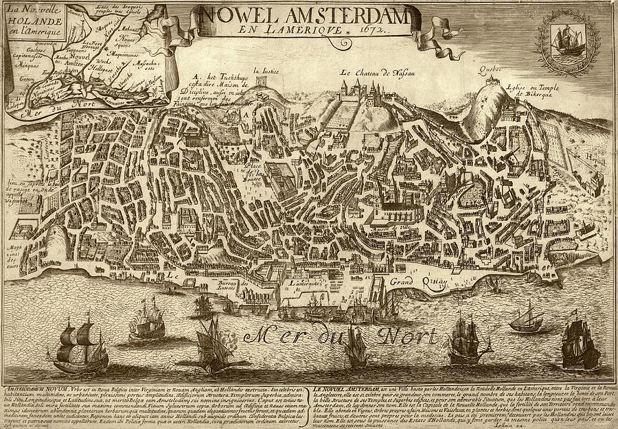
Lisbon As New Amsterdam

by Library Of Congress, Geography And Map Division
Title
Lisbon As New Amsterdam
Artist
Library Of Congress, Geography And Map Division
Medium
Photograph - Photograph
Description
Lisbon as New Amsterdam. 16th-century street map of Lisbon, Portugal, re-used in 1672 to incorrectly represent the city of New Amsterdam (renamed New York in 1674), then part of the colony of New Holland. The inset at top left correctly shows the location of New Amsterdam in North America, with reference to the Iroquois and surrounding rivers and lakes. The original map of Lisbon is from volume 5 (1598) of the city atlas 'Civitates orbis terrarum'. This atlas was edited by Georg Braun (c.1540-1622) and largely engraved by Franz Hogenberg. This misrepresentation was created by Gerard Jollain and published in Paris, France in 1672.
Uploaded
August 5th, 2016
Embed
Share
Comments
There are no comments for Lisbon As New Amsterdam. Click here to post the first comment.


