New York City #1

by Geoeye/science Photo Library
Title
New York City #1
Artist
Geoeye/science Photo Library
Medium
Photograph - Photograph
Description
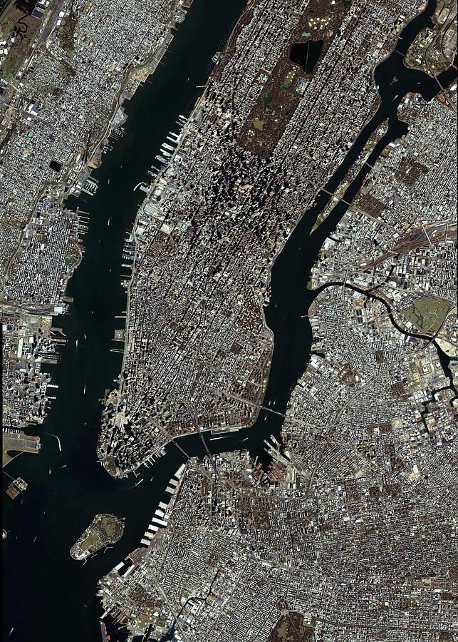
New York. Satellite image of the Manhattan area of New York City, USA. North is at top. The area seen is some 14 kilometres from top to bottom. The East River separates Manhattan from Brooklyn and Queens (lower right), while the Hudson River separates it from New Jersey (top left). The island at lower left is Governor's Island. Newtown Creek (centre right) separates Queens (upper area) and Brooklyn (lower area). Central Park (large green rectangle) is seen towards the upper part of Manhattan. The city centre skyscrapers are at the southern tip of Manhattan, where an empty space is seen where the World Trade Center used to stand. Image taken by the Ikonos satellite on 10 September 2003.
Uploaded
September 27th, 2018
Embed
Share
Comments
There are no comments for New York City #1. Click here to post the first comment.


