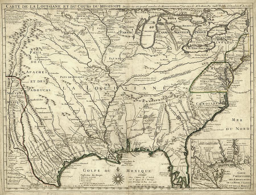
Map Of French Louisiana

by Library Of Congress, Geography And Map Division
Title
Map Of French Louisiana
Artist
Library Of Congress, Geography And Map Division
Medium
Photograph - Photograph
Description
Map of French Louisiana. 18th-century map of French Louisiana (in New France) in North America, centred on the Mississippi and its tributaries. The Great Lakes and British colonies, Florida, and Spanish New Mexico, are all shown. Numerous Native American tribes are named and ancient pre-Columbian sites such as Cahokia ('Ancien Village de Illinois'). The inset shows the Mississippi Delta on the Gulf of Mexico, and the colony of Fort Louis (Mobile-Tensaw delta). Explorers and their routes given on the map include: Cavelier (La Salle), St Denis and Hernando de Soto. Published in Paris in 1718 by French cartographer Guillaume de L'Isle (1675-1726).
Uploaded
August 1st, 2016
Embed
Share
Comments
There are no comments for Map Of French Louisiana. Click here to post the first comment.


