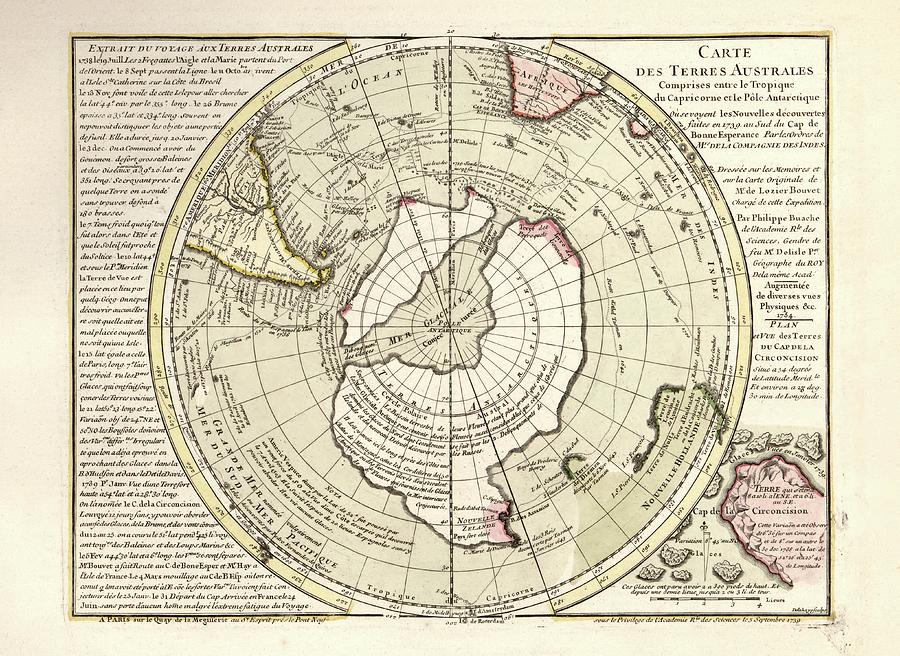
Map Of Antarctica

by Library Of Congress, Geography And Map Division
Title
Map Of Antarctica
Artist
Library Of Congress, Geography And Map Division
Medium
Photograph - Photograph
Description
Map of Antarctica. 18th-century map showing the supposed form of the recently discovered southern continent of Antarctica. The map incorrectly shows Antarctica as two land masses separated by a sea over the South Pole. The labels, text and inscriptions are in French. This map is from 'Cartes et tables de la geographie physique ou naturelle' (1757) by French geographers and cartographers Philippe Buache (1700-1773) and Guillaume de l'Isle (1675-1726).
Uploaded
July 21st, 2016
Statistics
Viewed 1,292 Times - Last Visitor from New York, NY on 04/19/2024 at 11:19 AM
Embed
Share
Sales Sheet


