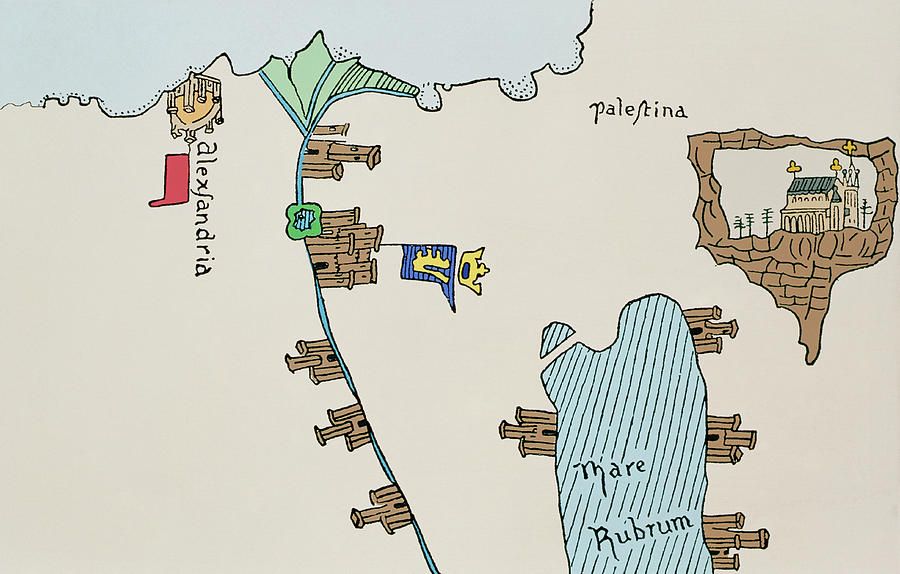
Historical Map Of Egypt And Palestine

by Sheila Terry/science Photo Library
Title
Historical Map Of Egypt And Palestine
Artist
Sheila Terry/science Photo Library
Medium
Photograph - Photograph
Description
Egypt and Palestine. Historical map showing Egypt and Palestine in the 14th century. The ancient city of Alexandria can be seen at upper left. It is here that the Alexandria lighthouse, one of the seven wonders of the world, was built. The river Nile can be seen running from upper left to lower centre. Various settlements are depicted along the Nile. To the right of the image is ancient Palestine. The Red Sea (Mare Rubrum) can be seen at lower right and at upper right is the town of Jerusalem. The Christian church shown in the image typifies Christian claims to Jerusalem at that time. Image taken from Pizzigani's 14th century map of the world.
Uploaded
October 2nd, 2018
Embed
Share


