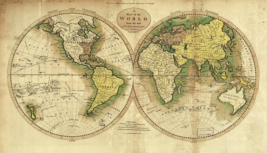
World Map And Cook's Routes

by Library Of Congress/science Photo Library
Title
World Map And Cook's Routes
Artist
Library Of Congress/science Photo Library
Medium
Photograph - Photograph
Description
World map and Cook's routes. 1795 map of the world, showing the western and eastern hemispheres, and routes and dates of the voyages of Captain James Cook in HMS Endeavour (1768-71) and HMS Resolution (1772-75, 1776-80). Australia is named New Holland and Antarctica had not yet been discovered. This map was published in the 1795 US edition of 'Guthrie's Geography', originally published in 1770 by Scottish author William Guthrie. The 1795 US edition had two volumes and an atlas, and was printed in Philadelphia by publisher Mathew Carey. This map was prepared by engravers James Thackera and John Vallance.
Uploaded
September 25th, 2018
Embed
Share
Comments
There are no comments for World Map And Cook's Routes. Click here to post the first comment.


