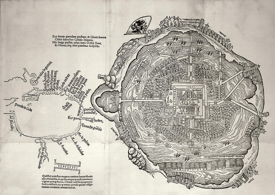
Mexico City And Gulf Of Mexico

by Library Of Congress
Title
Mexico City And Gulf Of Mexico
Artist
Library Of Congress
Medium
Photograph - Photograph
Description
Mexico City and Gulf of Mexico, 1524. Mexico City-Tenochtitlan (right, West at top) was the capital of the Aztec Empire. This city was built on an island in the centre of Lake Texcoco in the Valley of Mexico. The city was connected to the surrounding areas by several causeways across the lake. The city was conquered by the Spanish (led by Cortes) in 1521. The map at left shows the coastline of the Gulf of Mexico, with North at bottom. Florida and Cuba are both shown at far left. This map was published three years after the conquest, as part of a letter by Cortes to the Hapsburg emperor Charles V (Holy Roman imperial double-headed eagle at upper centre).
Uploaded
July 21st, 2016
Statistics
Viewed 1,593 Times - Last Visitor from Fairfield, CT on 04/26/2024 at 12:40 AM
Embed
Share
Sales Sheet
Comments
There are no comments for Mexico City And Gulf Of Mexico. Click here to post the first comment.


