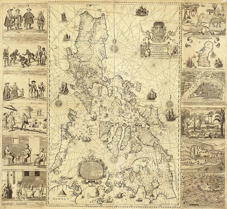
Map Of The Philippines

by Library Of Congress, Geography And Map Division/science Photo Library
Title
Map Of The Philippines
Artist
Library Of Congress, Geography And Map Division/science Photo Library
Medium
Photograph - Photograph
Description
Map of the Philippines. 18th-century Spanish map of the Philippines (then part of the Spanish Empire), published in Manila in 1734. The main map includes pictorial relief, an inset title and Spanish coat-of-arms (upper right), descriptive text (lower left), ships, the names of coastal towns, and historical sailing routes. The flanking engravings show maps of Guam, and the cities of Manila, Cavite, and Zamboanga, along with illustrations of different indigenous peoples. These are: Sangleyes, Kaffirs, a Camarin, a Lascar, mestizos, a Mardica, Japanese, an Armenian, a Mughal, and a Malabar. The map was drawn by drawn by Jesuit priest Pedro Murillo Velarde (1696-1753), and engraved by Nicolas de la Cruz Bagay
Uploaded
September 28th, 2018
Embed
Share
Comments
There are no comments for Map Of The Philippines. Click here to post the first comment.


