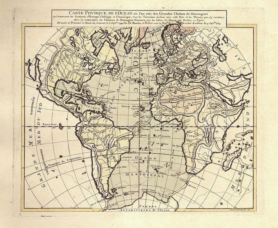
Map Of The Atlantic Ocean

by Library Of Congress, Geography And Map Division
Title
Map Of The Atlantic Ocean
Artist
Library Of Congress, Geography And Map Division
Medium
Photograph - Photograph
Description
Map of the Atlantic Ocean. 18th-century map showing the Atlantic Ocean and the drainage basins (yellow) that flow into this ocean. The labels and inscription are in French. This map is from 'Cartes et tables de la geographie physique ou naturelle' (1757) by French geographers and cartographers Philippe Buache (1700-1773) and Guillaume de l'Isle (1675-1726).
Uploaded
July 22nd, 2016
Embed
Share
Comments
There are no comments for Map Of The Atlantic Ocean. Click here to post the first comment.


