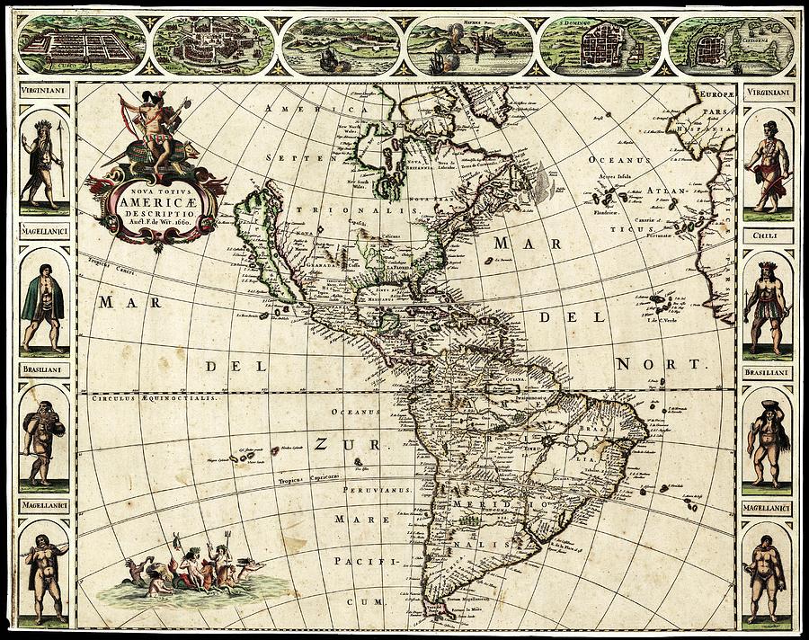
Map Of The Americas

by Library Of Congress, Geography And Map Division
Title
Map Of The Americas
Artist
Library Of Congress, Geography And Map Division
Medium
Photograph - Photograph
Description
Map of the Americas, titled 'Nova Totius Americae Descriptio' and produced in 1660 by by Dutch cartographer Frederick de Wit (c.1629-1706). The Atlantic and Pacific oceans, named in Latin, are also named as Mar del Zur (South Sea) and Mar del Nort (North Sea). North and South America are named in Latin as 'Septentrionalis' (northern) and 'Meridionalis' (southern). Indigenous peoples are shown from Virginia, Brazil, Chile and Patagonia (the 'Magellanici'). The cities across top are (left to right): Cusco (Peru), Mexico City (Mexico), Olinda in Pernambuco (Brazil), Havana (Cuba), Santo Domingo (Hispaniola) and Cartagena (Columbia).
Uploaded
August 2nd, 2016
Embed
Share
Comments
There are no comments for Map Of The Americas. Click here to post the first comment.


