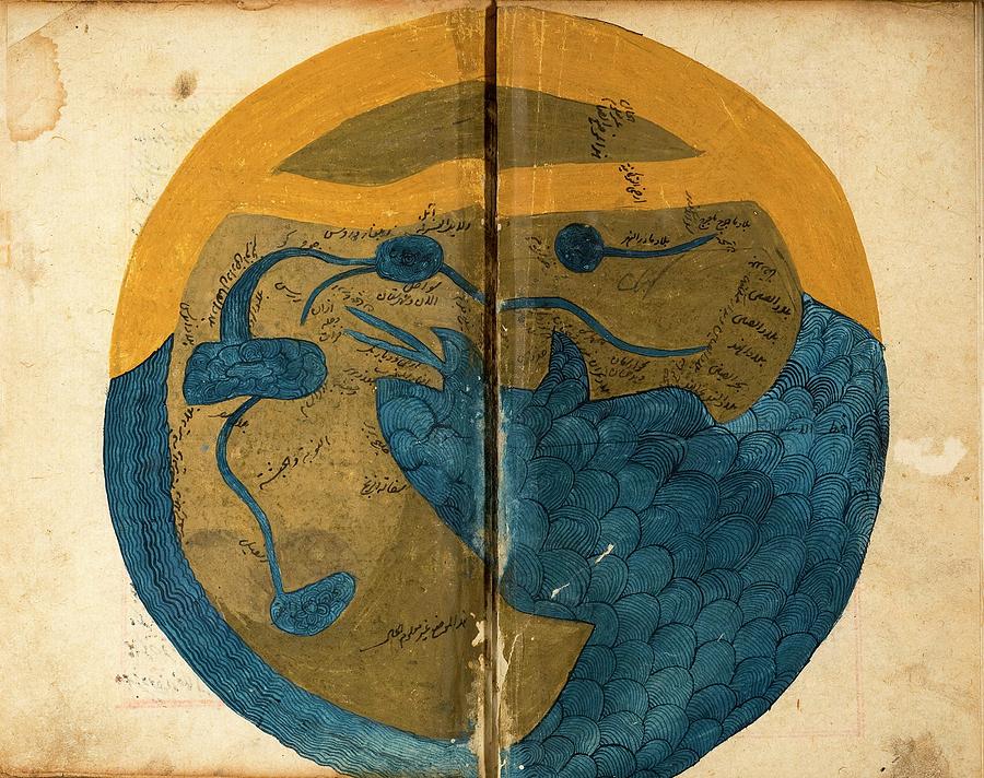
Islamic Map Of The World

by National Library Of Medicine
Title
Islamic Map Of The World
Artist
National Library Of Medicine
Medium
Photograph - Photograph
Description
Islamic map of the world. 13th-century map showing the known world as depicted by Islamic scholar al-Qazwini in his work known as 'The Cosmography' or 'The Wonders of Creation'. Produced in what is now Iran or Iraq, this was one of the outstanding natural history texts of the medieval Islamic world. The geography is based on that of Ptolemy and traditional Middle Eastern sources. The world is shown divided into three parts: Asia, Europe and Africa. There are seven seas, including the world-circling 'Ocean'. Bodies of water mentioned here include the Tigris, Euphrates and Nile rivers and the Mediterranean and Caspian seas.
Uploaded
July 5th, 2016
Embed
Share
Comments
There are no comments for Islamic Map Of The World. Click here to post the first comment.


