Brazil's Provincial Railways

by Library Of Congress, Geography And Map Division
Title
Brazil's Provincial Railways
Artist
Library Of Congress, Geography And Map Division
Medium
Photograph - Photograph
Description
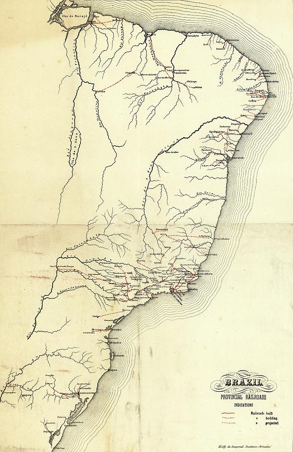
Brazil's provincial railways. Early 20th-century map of western Brazil and the rivers (black lines) and railways (red lines) between towns and extending inland from the coasts. The solid red lines are railways that had been built. The dashed lines are ones being built. And the dotted-dashed lines are planned railways. The coastline shown extends from the mouth of the Amazon at top left, down to the Lagoa dos Patos at bottom left. The first railways in Brazil were built in 1854, with most of the early railways built in the 1880s and 1890s. This map was produced circa 1902 by the Imperial Instituto Artistico (Imperial Artistic Institute), Rio de Janeiro, Brazil.
Uploaded
July 29th, 2016
Embed
Share
Comments
There are no comments for Brazil's Provincial Railways. Click here to post the first comment.


