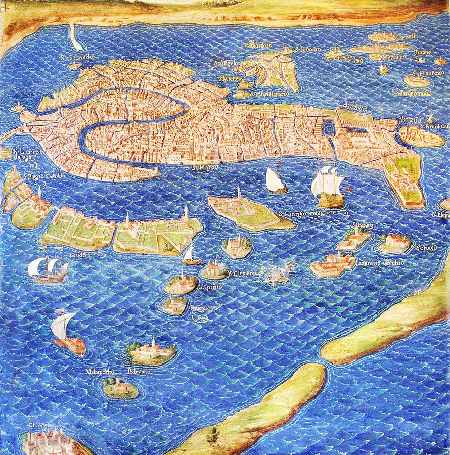
16th Century Map Of Venice

by Sheila Terry
Title
16th Century Map Of Venice
Artist
Sheila Terry
Medium
Photograph - Photograph
Description
16th century map of Venice showing the lagoon. Venice is a coastal city in the north-east of Italy. The main bulk of Venice is in the upper frame of the image and the large canal at the left is the Grand Canal. The Gallery of Maps in the Vatican Museums holds maps which were commissioned between 1578 and 1580 to show the regions of Italy and territories of the church. The maps are based on the work of Ignazio Danti, a 16th century Italian priest, mathematician, astronomer and cosmographer, and are an important record of 16th century geography. Here the many islands on which Venice is built can be seen.
Uploaded
May 13th, 2013
Embed
Share


