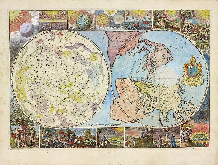
Northern Hemisphere Map

by Lionel Pincus And Princess Firyal Map Division/new York Public Library
Title
Northern Hemisphere Map
Artist
Lionel Pincus And Princess Firyal Map Division/new York Public Library
Medium
Photograph - Photograph
Description
Map of the northern hemisphere earth and heavens, 1699. The celestial map (left) shows stars and drawings of the mythological characters of the constellations. The terrestrial map (right) shows the expanding exploration of the known world. The surrounding panels depict biblical scenes. This map was produced by Philip Lea, a London cartographer, globe and instrument maker. It was published in 1699 and sold at the Atlas and Hercules in Cheapside, London, UK.
Uploaded
July 25th, 2016
Embed
Share
Comments
There are no comments for Northern Hemisphere Map. Click here to post the first comment.


