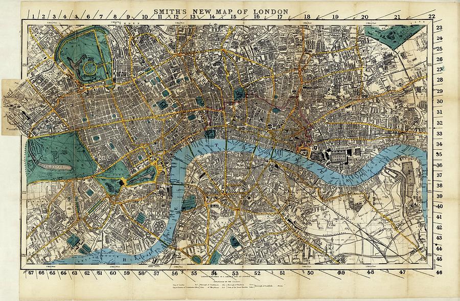
Map Of London

by Library Of Congress, Geography And Map Division/science Photo Library
Title
Map Of London
Artist
Library Of Congress, Geography And Map Division/science Photo Library
Medium
Photograph - Photograph
Description
Map of London. This is Smith's New Map of London, published by C. Smith and Son in 1860. It shows London during the reign of Queen Victoria, when the British Empire ruled large parts of the world. London was the largest city in the world, and had a population of over 3 million people. The Thames (blue) runs across bottom, while large parks (green) are also shown, such as Hyde Park (centre left) and Regent's Park (upper left). This map (36 by 63 centimetres, at a scale of 1:17,160) covered an area around 11.2 kilometres across and around 6.4 kilometres high.
Uploaded
September 25th, 2018
Embed
Share
Comments
There are no comments for Map Of London. Click here to post the first comment.


