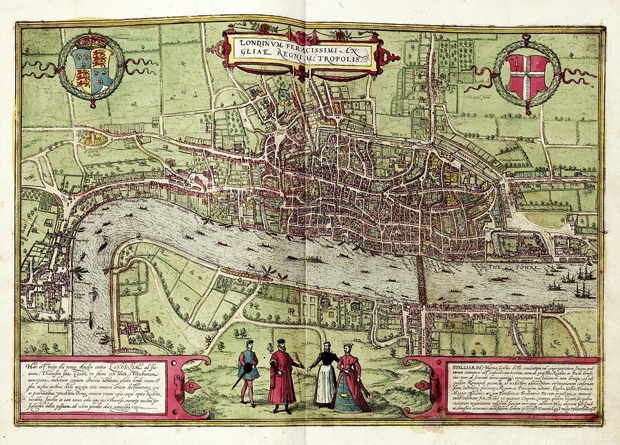
Map Of London #1

by Library Of Congress, Geography And Map Division
Title
Map Of London #1
Artist
Library Of Congress, Geography And Map Division
Medium
Photograph - Photograph
Description
Map of London. 16th-century map of Tudor London, titled 'Londinum Feracissimi Angliae Regni Metropolis'. In the top corners are Tudor (left) and City (right) coats-of-arms. Latin inscriptions (bottom corners) describe the city economy. Manor houses link the city with the royal court at Westminster (left). London Bridge (centre right) leads to Southwark. The spire of St Paul's Cathedral (destroyed 1561) is visible. The vignette (lower centre) shows local dress. This is a 1612 edition of a map first published in volume 1 (1572) of the city atlas 'Civitates orbis terrarum'. This atlas was edited by Georg Braun (c.1540-1622) and largely engraved by Franz Hogenberg.
Uploaded
August 2nd, 2016
Statistics
Viewed 2,088 Times - Last Visitor from New York, NY on 04/23/2024 at 11:05 PM
Embed
Share
Sales Sheet


