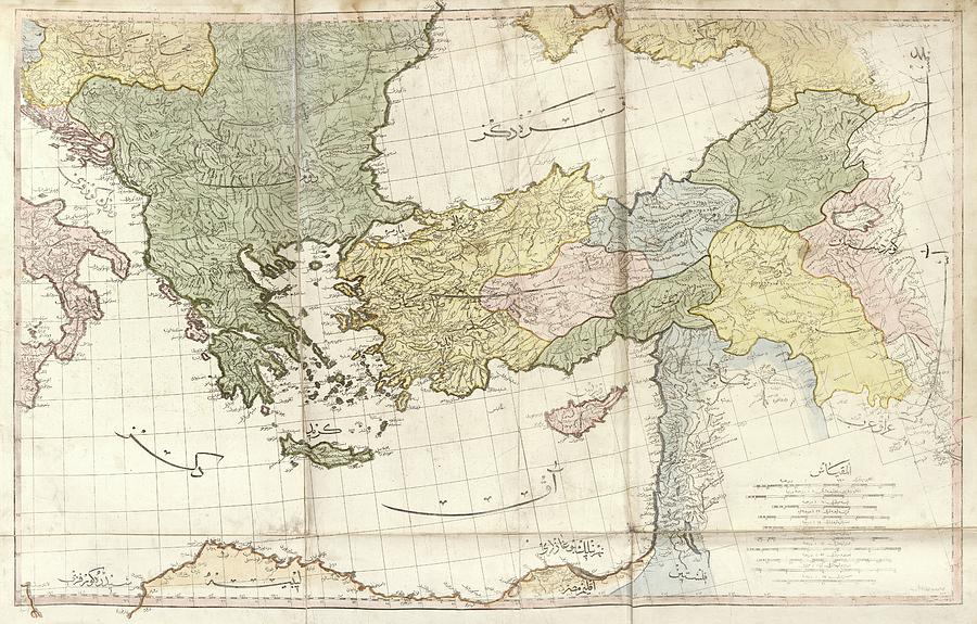
Greece And Turkey

by Library Of Congress, Geography And Map Division
Title
Greece And Turkey
Artist
Library Of Congress, Geography And Map Division
Medium
Photograph - Photograph
Description
Greece and Turkey. Early 19th-century map of Greece and Turkey with labels in Ottoman Turkish. Places and regions shown include the Black Sea, the Aegean Sea, the Adriatic Sea, the eastern Mediterranean Sea, and the islands of Crete and Cyprus. This map is from 'Cedid atlas tercumesi' (1803), an atlas produced by Tab'hane-yi Humayun and published in Istanbul, Turkey, during the period of the Ottoman Empire. The maps were based on those made by British cartographer William Faden (1749-1836) for his General atlas.
Uploaded
July 11th, 2016
Statistics
Viewed 621 Times - Last Visitor from Ottawa, ON - Canada on 04/25/2024 at 7:34 AM
Embed
Share
Sales Sheet
Comments
There are no comments for Greece And Turkey. Click here to post the first comment.


