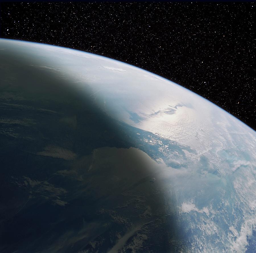
Enhanced Shuttle Image Of The Florida Peninsula

by Nasa/science Photo Library
Title
Enhanced Shuttle Image Of The Florida Peninsula
Artist
Nasa/science Photo Library
Medium
Photograph - Photograph
Description
Florida peninsula. Composite of a Shuttle image of the Florida peninsula from space on a starfield. There are marked reflections of the sun in the Atlantic and the lakes within the wetlands of central Florida. The sun-glint is crossed by the shadow of an east-west band of clouds and it also highlights regions of shears in the surface waters off the east coast (presumed to be related to the Gulf Stream). The view looks to the east and goes as far north as Georgia/South Carolina at the upper left. The Great Bahama Bank is visible as a light blue patch, indicating the shallower water, on the far right, just off the tip of the Florida peninsula.
Uploaded
October 4th, 2018
Embed
Share
Comments
There are no comments for Enhanced Shuttle Image Of The Florida Peninsula. Click here to post the first comment.


