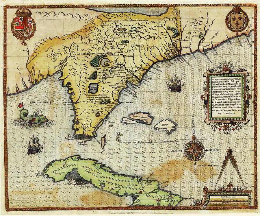
Map Of Florida And Cuba

by Library Of Congress, Geography And Map Division
Title
Map Of Florida And Cuba
Artist
Library Of Congress, Geography And Map Division
Medium
Photograph - Photograph
Description
Map of Florida and Cuba. 16th-century map of the Spanish territories in Florida and Cuba. The labels are in Latin, as is the title: 'Floridae Americae provinciae'. The map was produced by French artist Jacques Le Moyne de Morgues (c.1533-1588) based on his travels in the region in 1564 with the French explorers Ribault and Laudonniere. Rivers, lakes, mountains and settlements are shown, including Port Royal and Fort Caroline. This map was part of Le Moyne's account of their travels 'Brevis narratio eorum quae in Florida Americae provincia Gallis acciderunt'. It was published in 1591 as part of a larger work by German engraver Theodore de Bry.
Uploaded
June 29th, 2016
Embed
Share
Comments
There are no comments for Map Of Florida And Cuba. Click here to post the first comment.


