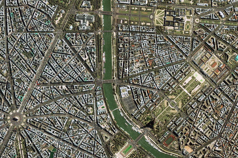
Central Paris #1

by Geoeye/science Photo Library
Title
Central Paris #1
Artist
Geoeye/science Photo Library
Medium
Photograph - Photograph
Description
Central Paris. Satellite image of the area around the Eiffel Tower (lower right, on river), central Paris, France. North is at left. The Eiffel Tower (300 metres tall, completed in 1889) stands on the banks of the River Seine. Stretching away towards centre right from the base of the tower are the Champs de Mars formal gardens. More formal gardens are at left of the domed Invalides (upper right), a military hospital founded by King Louis XIV in 1670. The Champs Elysees (broad road at left) runs down to the Arc de Triomphe (lower left, centre of circle, built from 1806-1808). The area seen here is some 3 kilometres from top to bottom. Image taken by the Ikonos satellite on 12 May 2001.
Uploaded
October 1st, 2018
Statistics
Viewed 617 Times - Last Visitor from New York, NY on 04/24/2024 at 1:07 AM
Embed
Share
Sales Sheet
Comments
There are no comments for Central Paris #1. Click here to post the first comment.


