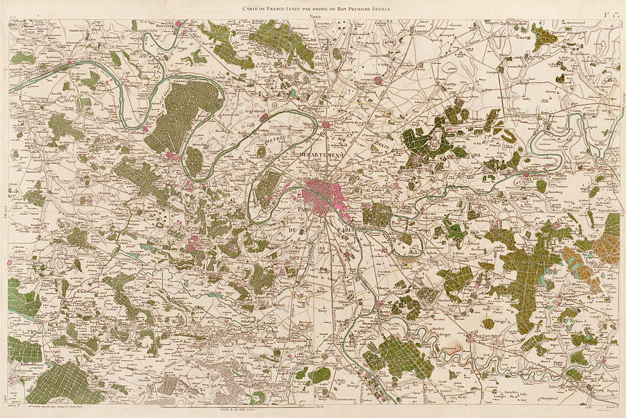
Map Of Paris

by Library Of Congress, Geography And Map Division/ Science Photo Library
Title
Map Of Paris
Artist
Library Of Congress, Geography And Map Division/ Science Photo Library
Medium
Photograph - Photograph
Description
Map of Paris, published in 1788, by Cesar Francois Cassini de Thury. This map was based on triangulation surveys and is part of the second map of France produced by Cassini. In 1744, along with Jacques Phillipe Maraldi, he had published the first accurate national topographical map of the country. The second map was not finished before Cassini's death in 1784, but his work was continued by his son Dominique Cassini.
Uploaded
September 12th, 2018
Statistics
Viewed 594 Times - Last Visitor from New York, NY on 04/23/2024 at 1:18 PM
Embed
Share
Sales Sheet
Comments
There are no comments for Map Of Paris. Click here to post the first comment.


