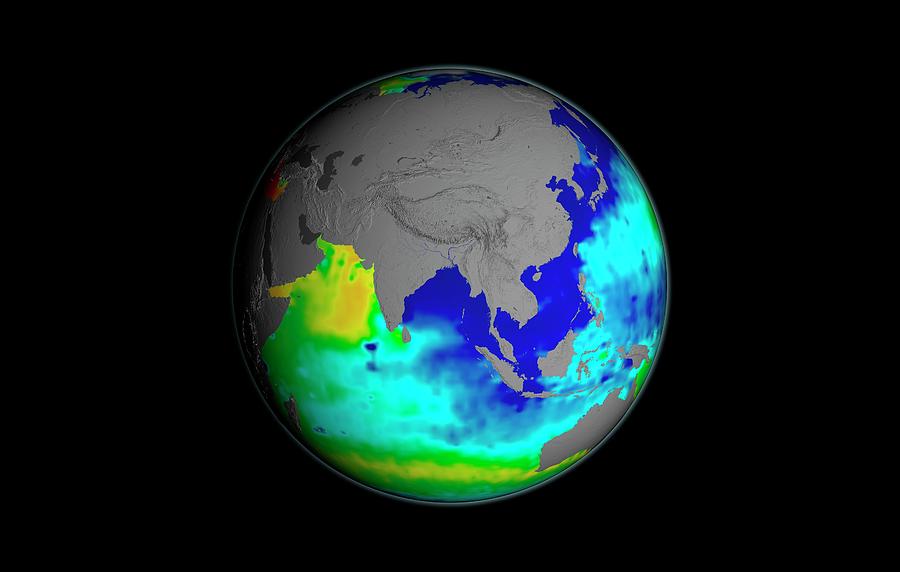
Sea Surface Salinity

by Nasa/goddard Space Flight Center Scientific Visualization Studio
Title
Sea Surface Salinity
Artist
Nasa/goddard Space Flight Center Scientific Visualization Studio
Medium
Photograph - Photograph
Description
Sea surface salinity. Globe map using Aquarius satellite data for the salinity (dissolved salt-content) of the oceans around Asia in September 2014. Understanding salinity, the amount of dissolved salts in water, helps to better understand the water cycle and can lead to improved climate models. The colour-coding gives the salinity range in PSU (practical salinity units, equivalent to parts per thousand) from 30 (blue) to 35 (green) to 40 (red). Average salinity is 35 PSU, with the normal range from 33 to 37 PSU. This data was acquired by the Aquarius instrument on the joint Argentine-NASA SAC-D satellite.
Uploaded
July 21st, 2016
Embed
Share
Comments
There are no comments for Sea Surface Salinity. Click here to post the first comment.


