Previous Image

|

Next Image
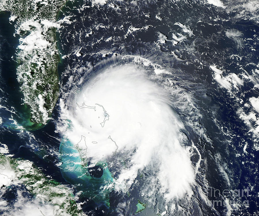
Hurricane Dorian Over The Bahamas Photograph by Nasa Earth Observatory/science Photo Library

Similar Images

Global Botanical Geography by Library Of Congress, Geography And Map Division
Global Botanical Geography #2 by Library Of Congress Geography And Map Division
Earth From Space #2 by Nasa
Burning Man Festival by Geoeye/science Photo Library
Theodore Roosevelt And John Muir by Library Of Congress
Hurricane Dorian Over The Bahamas by Noaa Environmental Visualization Laboratory/science Photo Library
Great Siege Of Malta by Library Of Congress, Geography And Map Division/science Photo Library
Map Of Climactic Zones by The Getty/science Photo Library
Uluru (ayers Rock) At Sunrise by Bildagentur-online/mcphoto-schulz
Mars' Polar Cap by Nasa/jpl-caltech/univ. Of Arizona
Earth #17 by Planetary Visions Ltd/science Photo Library
Cave Of Crystals #4 by Javier Trueba/msf/science Photo Library
Eroded Sandstone #1 by Michael Szoenyi/science Photo Library
Earth #12 by Planetary Visions Ltd/science Photo Library
Hong Kong by Worldsat International/science Photo Library
Earth #60 by Planetary Visions Ltd/science Photo Library
Congo River Travel by Patrick Landmann/science Photo Library
Hurricane Wilma #1 by Nasa/science Photo Library
Cook Islands Lagoon by Andy Crump/science Photo Library

Comments

There are no comments for Hurricane Dorian Over The Bahamas.   Click here to post the first comment.

Recently Viewed

Hurricane Dorian Over The Bahamas by Nasa Earth Observatory/science Photo Library
Previous Image Next Image

Help

Contact Us

Frequently Asked Questions

Return Policy

Returns

Terms of Use

Privacy Policy

Location Settings

Fairfield, CT (United States)

Currency: USD ($)

Units: Inches

Stay Connected

Sign up for our newsletter for exclusive deals, discount codes, and more.


Copyright © 2024 sciencephotogallery.com - All Rights Reserved - Website Powered by Fine Art America / Pixels - Original Source - Tapestries