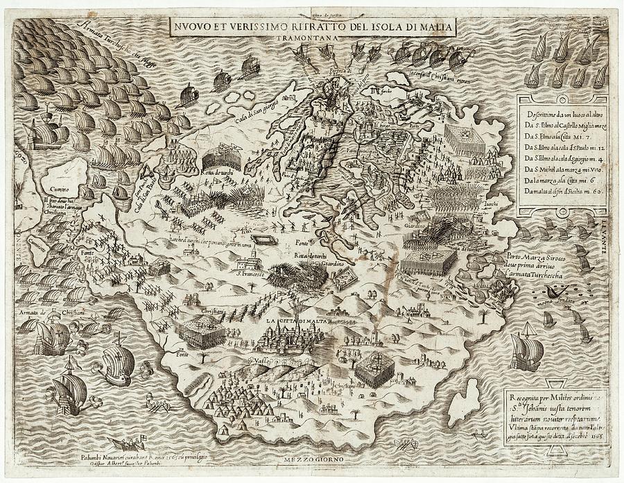
Great Siege Of Malta

by Library Of Congress, Geography And Map Division/science Photo Library
Title
Great Siege Of Malta
Artist
Library Of Congress, Geography And Map Division/science Photo Library
Medium
Photograph - Photograph
Description
Great Siege of Malta, 1565. The map shows the ships of a Christian relief armada (lower left) and the Turkish fleet of the Ottoman Empire (upper left), with troops of Crusader Knights defending the island of Malta itself. The main port and harbour is at upper centre. The military Order of Saint John (the Knights Hospitaller) is mentioned at bottom right, with key battles listed at upper right. During this siege, the Ottoman Empire tried to invade Malta, but the Knights Hospitaller successfully defended the island, a key point in the defence of Europe and Christendom from the Ottomans. This map is from 'Geografia tavole moderne di geografia' (1575) by Antonio Lafreri, Paolo Forlani and Giacomo Gastaldi.
Uploaded
February 17th, 2021
Statistics
Viewed 700 Times - Last Visitor from Ottawa, ON - Canada on 04/23/2024 at 7:18 AM
Embed
Share
Sales Sheet


