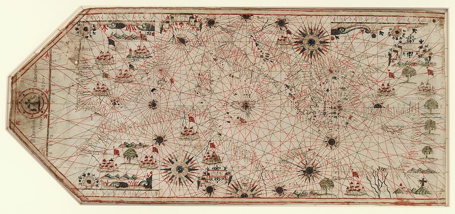
Chart Of The Mediterranean

by Library Of Congress, Geography And Map Division
Title
Chart Of The Mediterranean
Artist
Library Of Congress, Geography And Map Division
Medium
Photograph - Photograph
Description
Chart of the Mediterranean. 17th-century chart of the Mediterranean coast and the coast of Portugal and north-west Africa. This is from a portolan atlas (a collection of navigational charts). It was produced either by Italian cartographer Giovanni Battista Cavallini (active 1630-1669), or his son Pietro, or by his workshop. This chart includes 16 wind roses and numerous illustrations including Islamic flags over cities in North Africa and the Middle East, and a depiction of the crucifixion to represent the Holy Land. The lines on the map are rhumb lines, designed to make it easier to steer a straight course. The map dates from 1678 (publication details at left).
Uploaded
June 30th, 2016
Embed
Share
Comments
There are no comments for Chart Of The Mediterranean. Click here to post the first comment.


