Arctic Ocean

by Martin Jakobsson/science Photo Library
Title
Arctic Ocean
Artist
Martin Jakobsson/science Photo Library
Medium
Photograph - Photograph
Description
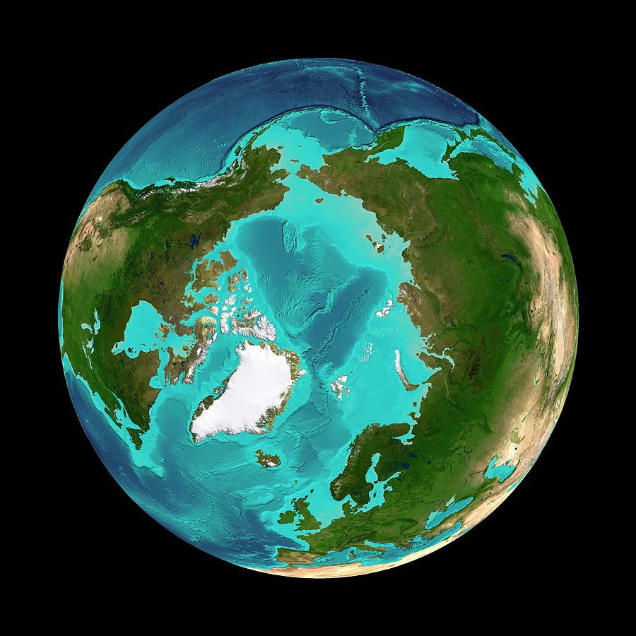
Arctic Ocean, seafloor map. This map is centred on the North Pole, with Greenland (white) at lower left, North America at left, and Eurasia at right. The seabed depth varies from shallow (light blue) on the continental shelves, to deep (dark blue) in the ocean basins. The main feature is the Lomonosov Ridge running across the Arctic, a relatively shallow ocean. At top, the dark blue areas in the Pacific are among the deepest in the world. The topography of the ocean basins has been depicted using IBCAO (the International Bathymetric Chart of the Arctic Ocean) and ETOPO2-2 (Earth Topography) satellite altimetry data. The land areas use data from the Blue Marble satellite mosaic.
Uploaded
September 18th, 2018
Embed
Share
Comments
There are no comments for Arctic Ocean. Click here to post the first comment.


