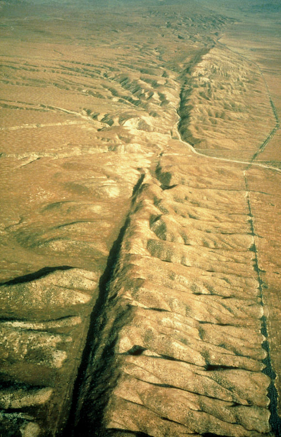
Aerial Photo Of The San Andreas Fault

by Us Geological Survey/science Photo Library
Title
Aerial Photo Of The San Andreas Fault
Artist
Us Geological Survey/science Photo Library
Medium
Photograph - Photograph
Description
Aerial photograph of the San Andreas fault as it crosses the Carrizo Plain approximately 450km (300 miles) south of San Francisco & 160km (100 miles) north of Los Angeles. One of the world's great seismic faults, the San Andreas extends almost the full length of California & is responsible for major earthquakes. A linear valley has eroded along the main track of the fault, running from bottom left-centre to top right of the photo. The black line on the Carrizo Plain at right is not a fault but a fence line against which tumbleweed has collected. The desolate landscape consists of pressure ridges formed as a result of hundreds of fault movements. Location: Carrizo Plain area, Sec. 19, T32S, R22E.
Uploaded
September 26th, 2018
Statistics
Viewed 723 Times - Last Visitor from Fairfield, CT on 04/25/2024 at 11:11 PM
Embed
Share
Sales Sheet
Comments
There are no comments for Aerial Photo Of The San Andreas Fault. Click here to post the first comment.


