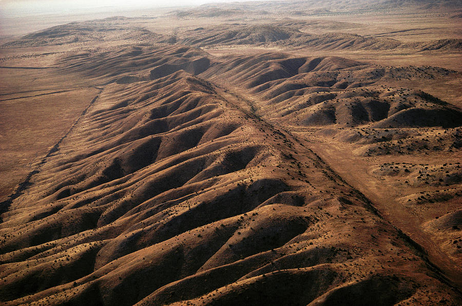
San Andreas Fault

by Peter Menzel/science Photo Library
Title
San Andreas Fault
Artist
Peter Menzel/science Photo Library
Medium
Photograph - Photograph
Description
San Andreas fault, California, USA. Aerial photograph of the San Andreas fault as it crosses the Carrizo Plain. The San Andreas fault is the active tectonic boundary between the North American tectonic plate and the Pacific tectonic plate in western California. The two plates move in opposing directions, which causes earthquakes to occur along the fault. The entire San Andreas fault system is more than 800 miles long is is around 10 miles deep within the Earth.
Uploaded
September 21st, 2018
Statistics
Viewed 835 Times - Last Visitor from Beverly Hills, CA on 04/23/2024 at 2:41 PM
Embed
Share
Sales Sheet
Comments
There are no comments for San Andreas Fault. Click here to post the first comment.


