North America #1

by Dynamic Earth Imaging/science Photo Library
Title
North America #1
Artist
Dynamic Earth Imaging/science Photo Library
Medium
Photograph - Photograph
Description
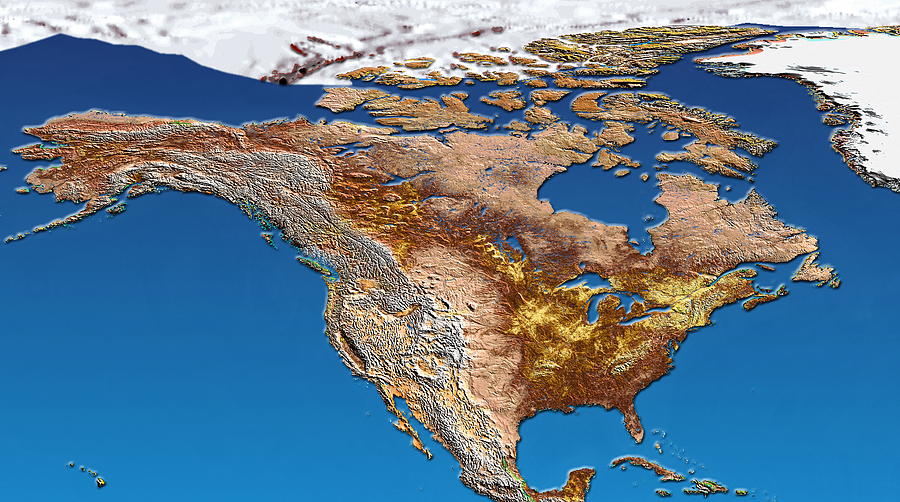
North America, coloured satellite image. North is at top. Land is brown, water is blue and snow and ice are white. The land topography is shown, with mountain ranges (white, left) dominating the west coast of the continent. The high plateau of the island of Greenland (top right) extends southwards the Arctic conditions of the polar ice cap (across top). The northern parts of the Atlantic Ocean (right) and Pacific Ocean (left) lie either side of North America. The islands of the Caribbean Sea (lower right) and the Hawaiian islands (bottom left) are also seen.
Uploaded
September 15th, 2018
Embed
Share
Comments
There are no comments for North America #1. Click here to post the first comment.


