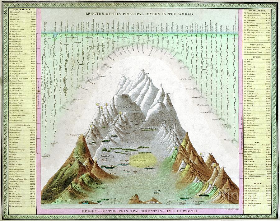
Rivers And Mountains Of The World

by Library Of Congress, Geography And Map Division/science Photo Library
Title
Rivers And Mountains Of The World
Artist
Library Of Congress, Geography And Map Division/science Photo Library
Medium
Photograph - Photograph
Description
Rivers and mountains of the world, 1840s. This map is from an atlas published in the USA in 1849 by Samuel Augustus Mitchell (1792-1868). The highest mountain shown is Dwahalagiri (Dhaulagiri) in Nepal, given as 26,262 feet in elevation (8004 metres), but now known to be 8167 metres. This mountain was presumed to be the world's highest from 1808 until 1847. It wasn't until 1852 that Mount Everest was established as the world's highest mountain. Similarly, the relative lengths of various rivers (especially the Missouri, Amazon, Nile and Yangtze) are inaccurate compared to modern measurements. Various cities and other landmarks are shown at various elevations on the main landscape.
Uploaded
October 6th, 2019
Statistics
Viewed 814 Times - Last Visitor from New York, NY on 04/16/2024 at 12:01 PM
Embed
Share
Sales Sheet


