Previous Image

|

Next Image
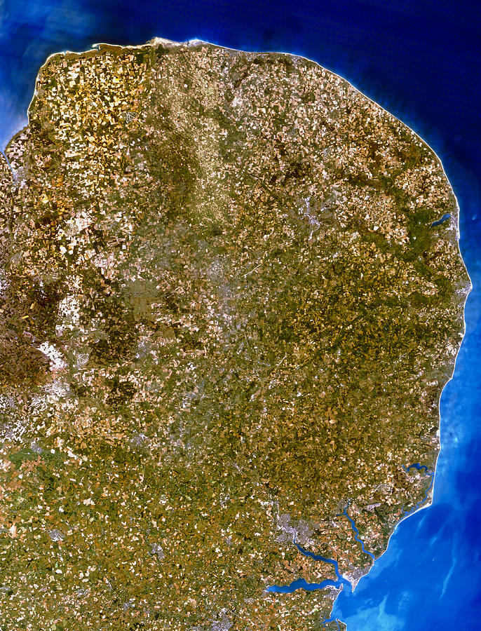
True-colour Satellite Image Of East Anglia, Uk Photograph by Planetobserver

Similar Images

East Anglia by Nrsc Ltd/map Appeal/science Photo Library
University Of East Anglia by Victor De Schwanberg/science Photo Library
Map Of Anglo-saxon England by Middle Temple Library
Landsat Tm Image Of East Anglia by Nrsc Ltd/science Photo Library
Anglo-saxon Coins by Middle Temple Library
Training Exercise For Major Emergency #1 by Public Health England
Bluetongue Disease Control Measures by David Hay Jones/science Photo Library
Frost-covered Teasel Seed Heads by Dr. John Brackenbury/science Photo Library
Restored Railway Station Waiting Room by Victor De Schwanberg/science Photo Library
Farm Closed By Bluetongue Virus Outbreak by David Hay Jones/science Photo Library
Frost-covered Teasel Seed Heads #1 by Dr. John Brackenbury/science Photo Library
Coastal Defences by Colin Cuthbert/science Photo Library
Mallard Ducks by Steve Allen/science Photo Library
Coastal Defences #1 by Colin Cuthbert/science Photo Library
Stream In A Nature Reserve by Robert Brook/science Photo Library
Sailing Yacht by Steve Allen/science Photo Library
Windmill #2 by Steve Allen/science Photo Library
John Rennie by Sheila Terry/science Photo Library
Biogas Bus by Victor De Schwanberg/science Photo Library
Suffolk Punch Horse Breed by Samantha Elmhurst/science Photo Library

Comments

There are no comments for True-colour Satellite Image Of East Anglia, Uk.   Click here to post the first comment.

Recently Viewed

True-colour Satellite Image Of East Anglia, Uk by Planetobserver
Previous Image Next Image

Help

Contact Us

Frequently Asked Questions

Return Policy

Returns

Terms of Use

Privacy Policy

Location Settings

Fairfield, CT (United States)

Currency: USD ($)

Units: Inches

Stay Connected

Sign up for our newsletter for exclusive deals, discount codes, and more.


Copyright © 2024 sciencephotogallery.com - All Rights Reserved - Website Powered by Fine Art America / Pixels - Original Source - Tapestries