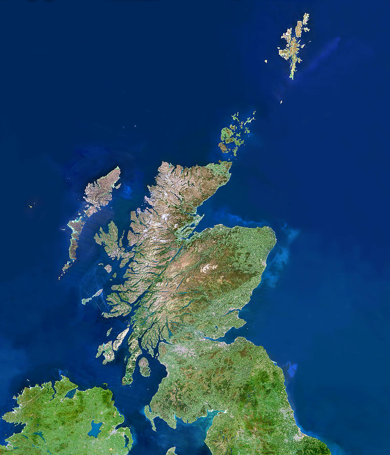
Scotland, Uk, Satellite Image

by Planetobserver
Title
Scotland, Uk, Satellite Image
Artist
Planetobserver
Medium
Photograph - Photograph
Description
Scotland, UK, satellite image. North is at top. Colours approximate to natural tones. The southern lowlands are mainly green, while the highlands of the north are brown. To the west of the mainland are the Hebrides islands, with the Outer Hebrides further west than the Inner Hebrides. The Orkney Islands are just off the north-eastern tip of the mainland, with the Shetland Isles at upper right. Scotland's capital city is Edinburgh, on the south coast of the Firth of Forth, the large inlet just right of lower centre. Glasgow, the largest city in Scotland, is the grey patch west of Edinburgh. Photographed by a Landsat satellite.
Uploaded
May 8th, 2013
Statistics
Viewed 791 Times - Last Visitor from New York, NY on 04/25/2024 at 12:18 PM
Embed
Share
Sales Sheet
Comments
There are no comments for Scotland, Uk, Satellite Image. Click here to post the first comment.


