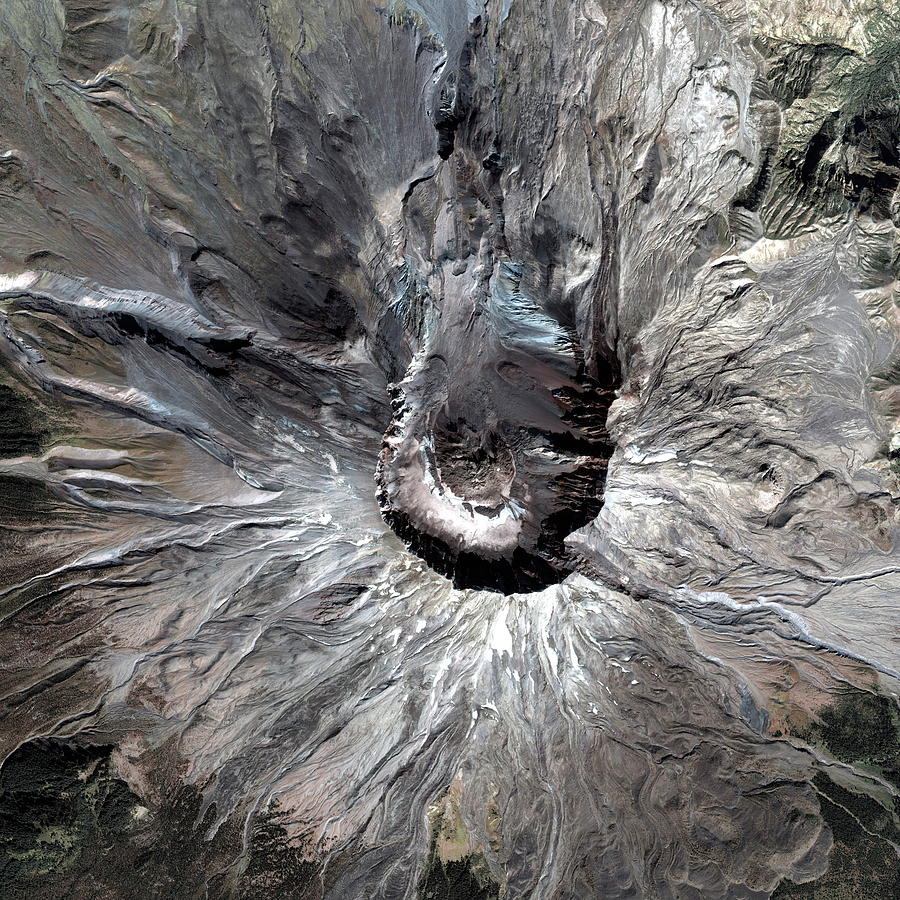
Mount St Helens

by Geoeye/science Photo Library
Title
Mount St Helens
Artist
Geoeye/science Photo Library
Medium
Photograph - Photograph
Description
Mount St Helens. Satellite image of the summit of the Mount St Helens volcano, in Washington State, USA. The summit crater (centre, 2 kilometres wide and 640 metres deep) was formed during a massive volcanic eruption on 18 May 1980, following months of volcanic activity. The bulging northern face of the volcano collapsed and a massive pyroclastic flow erupted northwards (towards top), leaving a massive gap in the crater that formed. The volcano was reduced in height by 400 metres, hundreds of square kilometres of forest were destroyed and 57 people died. A post-eruption lava dome (centre) formed in the crater. Image taken by the Ikonos satellite on 13 September 2003.
Uploaded
October 7th, 2018
Statistics
Viewed 631 Times - Last Visitor from Ottawa, ON - Canada on 04/25/2024 at 2:11 AM
Embed
Share
Sales Sheet
Comments
There are no comments for Mount St Helens. Click here to post the first comment.


