Meddo Stick Map

by Library Of Congress, Geography And Map Division
Title
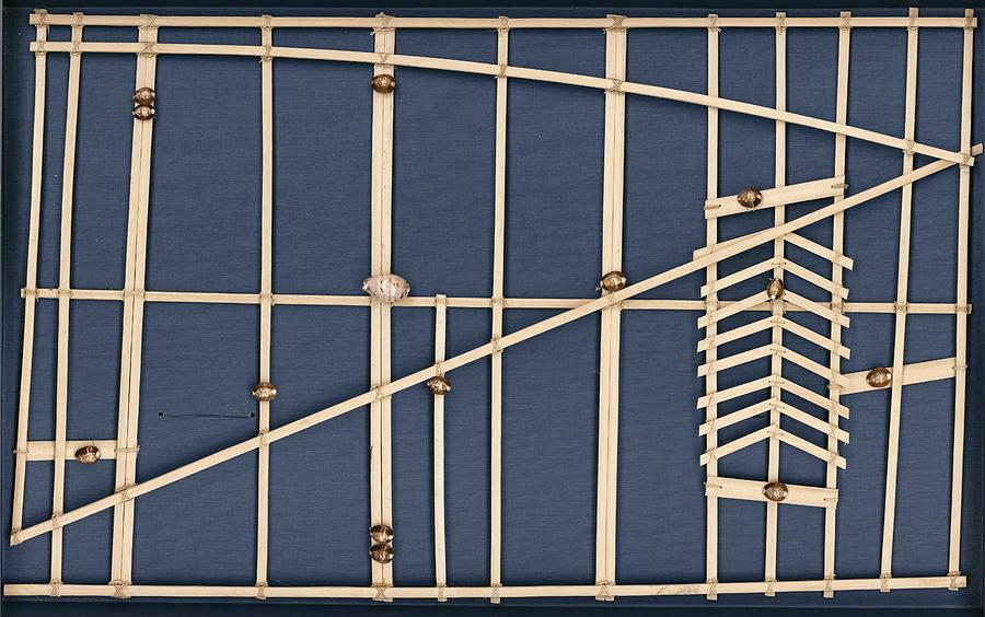
Meddo Stick Map
Artist
Library Of Congress, Geography And Map Division
Medium
Photograph - Photograph
Description
Meddo stick map, Marshall Islands. Meddo stick charts are used by Pacific islanders to aid navigation at sea. The Marshall Islands are in the western Pacific, where travel at sea takes place in outrigger sailing canoes. This chart represents the western or Ralik chain of the Marshall Islands and covers the general area between 164 degrees and 170 degrees East longitude and 4 degrees and 12 degrees North latitude. The large shell near centre represents the atoll of Kwajalein. The design at right represents the effect of the trade winds on ocean swells after they pass through and around the atoll of Jaluit. This specimen of a stick map dates from the 1920s.
Uploaded
August 4th, 2016
Embed
Share
Comments
There are no comments for Meddo Stick Map. Click here to post the first comment.


