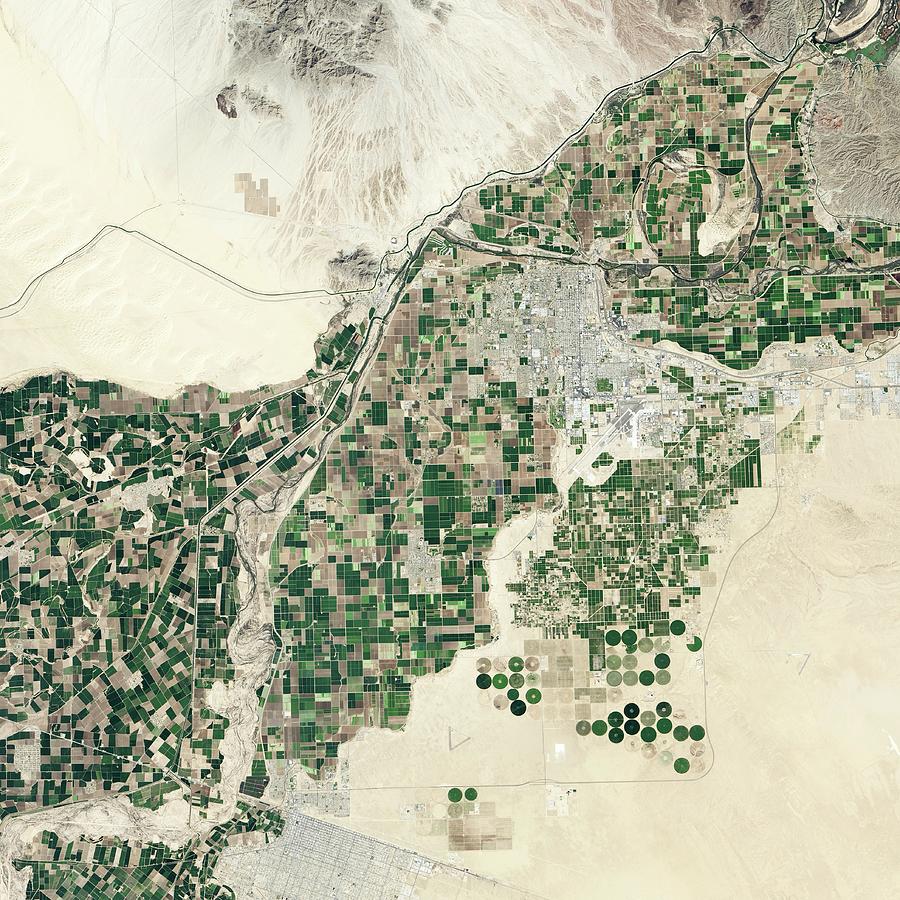
Lower Colorado River

by Nasa Earth Observatory
Title
Lower Colorado River
Artist
Nasa Earth Observatory
Medium
Photograph - Photograph
Description
Lower Colorado River. Satellite image of agricultural fields and desert sands surrounding part of the Lower Colorado River on the Mexico-US border. North is at top. The city of Yuma is at centre right. The river flows top right to bottom left, forming the border at lower left. The All-American Canal (upper left) flows through desert. The Central Feeder Canal (lower left) flows through Mexican fields, with water diverted here by the Morelos Dam (centre left). On 23 March 2014, water was released through the dam to rejuvenate the river's delta further downstream. Image data obtained on 8 March 2014 by the Operational Land Imager (OLI) on the Landsat 8 satellite.
Uploaded
July 29th, 2016
Embed
Share
Comments
There are no comments for Lower Colorado River. Click here to post the first comment.


