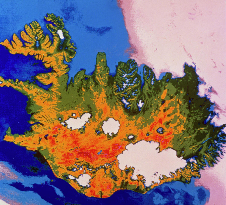
Infrared Satellite Image Of Iceland

by Nasa/science Photo Library
Title
Infrared Satellite Image Of Iceland
Artist
Nasa/science Photo Library
Medium
Photograph - Photograph
Description
False-colour infrared satellite image of Iceland. The colour coding ranges from white for the coldest parts, through blue & green, to orange & red for the warmest areas. The large white area at bottom right is the enormous Vatnajokull glacier. The other glaciers are the Hofsjokull (centre), Langjokull (centre left), & Myrdalsjokull (lower centre). The red areas are regions of volcanic activity. The image was recorded by NASA's Heat Capacity Mapping Mission satellite in 1980.
Uploaded
September 26th, 2018
Embed
Share
Comments
There are no comments for Infrared Satellite Image Of Iceland. Click here to post the first comment.


