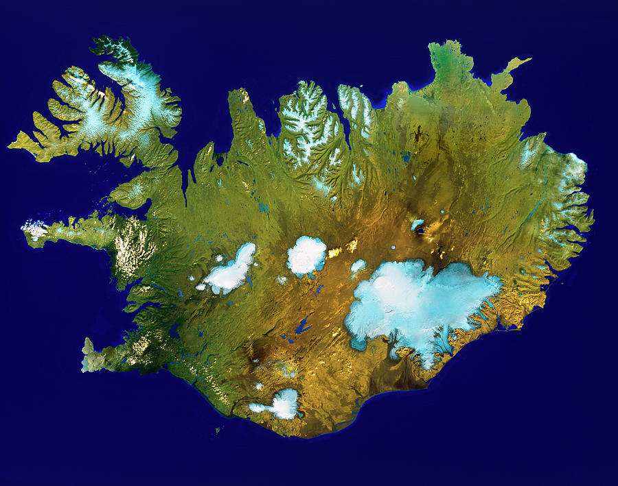
Iceland

by Worldsat International/science Photo Library
Title
Iceland
Artist
Worldsat International/science Photo Library
Medium
Photograph - Photograph
Description
Iceland. Satellite image of the island country of Iceland, in the north Atlantic Ocean. North is at top. Vegetation is green, arid areas are brown, snow & ice is blue/white, and water is dark blue. The capital city Reykjavik is at lower left. The Vatnajokull icefield (lower right) covers an area of over 8,000 square kilometres, and its highest point is over 2,000 metres. Iceland is situated at the north end of the Mid-Atlantic Ridge and only 21% of the land is inhabitable.
Uploaded
September 15th, 2018
Embed
Share
Comments
There are no comments for Iceland. Click here to post the first comment.


