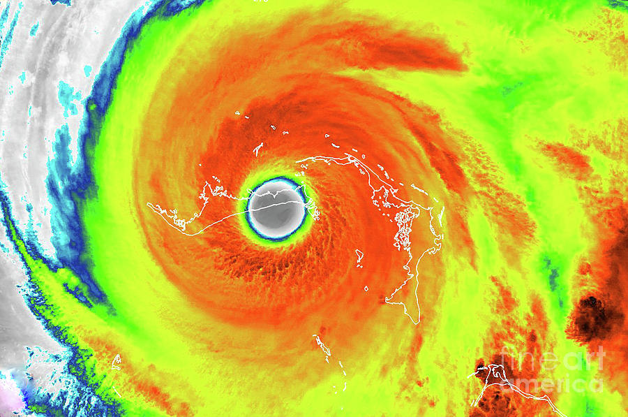
Hurricane Dorian Over The Bahamas

by Nasa/noaa/uwm-ssec-cimss/william Straka Iii/science Photo Library
Title
Hurricane Dorian Over The Bahamas
Artist
Nasa/noaa/uwm-ssec-cimss/william Straka Iii/science Photo Library
Medium
Photograph - Photograph
Description
Hurricane Dorian over the Bahamas, infrared satellite image. Hurricane Dorian reached category 5 strength on 1 September 2019, making landfall in the Bahamas where it caused extensive damage and flooding due to high winds, prolonged rainfall and storm surges, especially on islands and associated islands of Great Abaco and Grand Bahama (labelled). This image was obtained on 2 September 2019, by the Visible Infrared Imaging Radiometer Suite (VIIRS) sensor on the Suomi NPP (National Polar-orbiting Partnership) satellite.
Uploaded
October 20th, 2019
Statistics
Viewed 721 Times - Last Visitor from Romeo, MI on 04/25/2024 at 12:37 AM
Embed
Share
Sales Sheet
Comments
There are no comments for Hurricane Dorian Over The Bahamas. Click here to post the first comment.


