Previous Image

|

Next Image
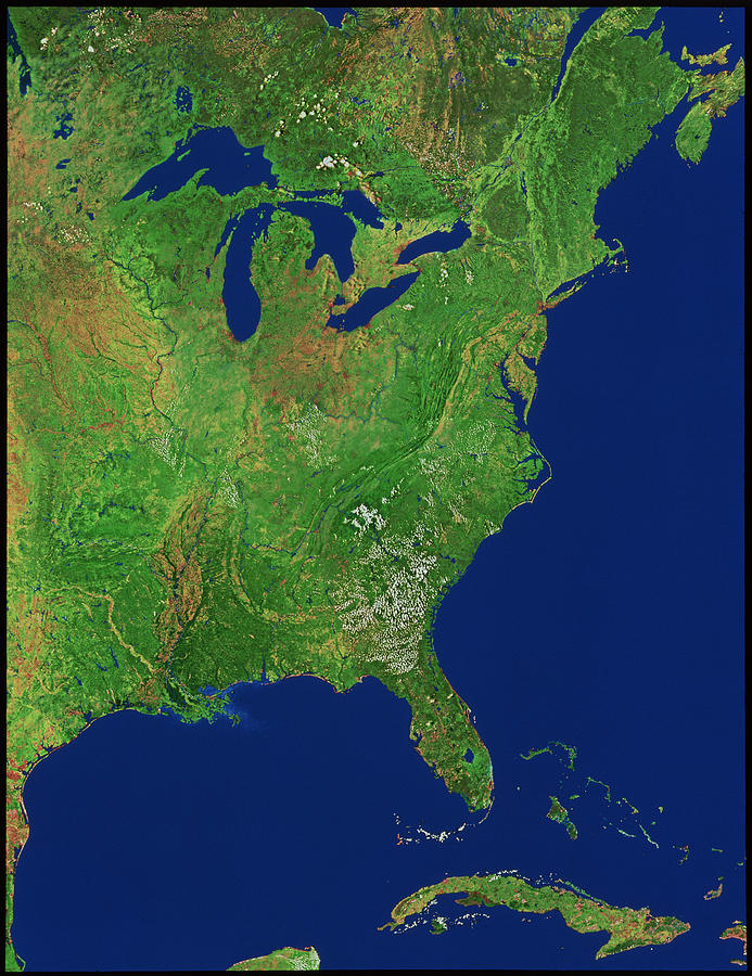
Eastern Usa Photograph by Worldsat International Inc./science Photo Library

Similar Images

Landsat Image Of Appalachian Mountains by Nasa/science Photo Library
Satellite View Of Appalachian Fold Mountains by Mda Information Systems/science Photo Library
Geological Map Of The Eastern Usa by Library Of Congress, Geography And Map Division/science Photo Library
Infrared Satellite Image Of Chesapeake Bay Estuary by Mda Information Systems/science Photo Library
William Barton Rogers by Universal History Archive/uig
William Barton Rogers by Library Of Congress
Digital Shaded-relief Map Of The Continental Usa by Us Geological Survey/science Photo Library
Digital Shaded-relief Map Of The Continental Usa #1 by Us Geological Survey/science Photo Library
Digital Shaded-relief Map Of The Continental Usa #2 by Us Geological Survey/science Photo Library
Digital Shaded-relief Map Of The Continental Usa #3 by Us Geological Survey/science Photo Library
Digital Shaded-relief Map Of The Continental Usa #4 by Us Geological Survey/science Photo Library
Digital Shaded-relief Map Of The Continental Usa #5 by Us Geological Survey/science Photo Library
The Great Lakes, ISS image by Science Photo Library
Mainland USA, land cover map by Science Photo Library
US Southern States, satellite artwork by Science Photo Library

Comments

There are no comments for Eastern Usa.   Click here to post the first comment.

Recently Viewed

Eastern Usa by Worldsat International Inc./science Photo Library
Previous Image Next Image

Help

Contact Us

Frequently Asked Questions

Return Policy

Returns

Terms of Use

Privacy Policy

Location Settings

Cambridge, MA (United States)

Currency: USD ($)

Units: Inches

Stay Connected

Sign up for our newsletter for exclusive deals, discount codes, and more.


Copyright © 2024 sciencephotogallery.com - All Rights Reserved - Website Powered by Fine Art America / Pixels - Original Source - Tapestries