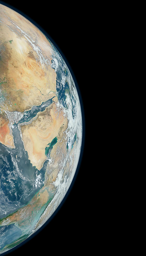
Arabian Peninsula

by Nasa
Title
Arabian Peninsula
Artist
Nasa
Medium
Photograph - Photograph
Description
Composite satellite image of the Arabian Peninsula from a perspective of 12,740 kilometres away. This image was compiled using data recorded by the Visible Infrared Imaging Radiometer Suite (VIIRS) on the Suomi NPP (National Polar-orbiting Partnership) satellite, during six separate orbits on 23rd January 2012.
Uploaded
July 29th, 2016
Embed
Share
Comments
There are no comments for Arabian Peninsula. Click here to post the first comment.


