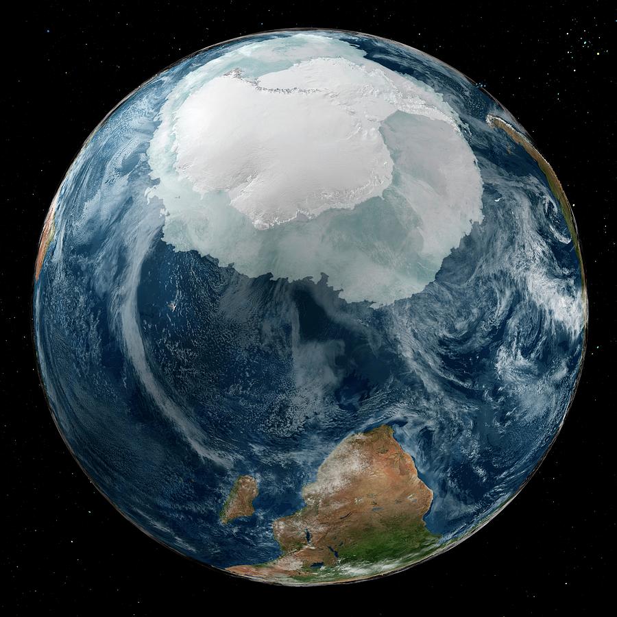
Antarctica And Southern Africa

by Nasa/goddard Space Flight Center Scientific Visualization Studio/science Photo Library
Title
Antarctica And Southern Africa
Artist
Nasa/goddard Space Flight Center Scientific Visualization Studio/science Photo Library
Medium
Photograph - Photograph
Description
Antarctica and southern Africa. Satellite image of the Earth with the full Antarctic region visible. The sea ice is close to its maximum annual extent in the southern hemisphere. Sea ice data is from the AMSR-E (Advanced Microwave Scanning Radiometer-EOS) instrument on the Aqua satellite. The land and cloud data is from the MODIS coverage by the Terra and Aqua satellites. The star field is from the Hipparcos satellite. This image was obtained on 21 September 2005, and released to mark the International Polar Year.
Uploaded
September 21st, 2018
Embed
Share


