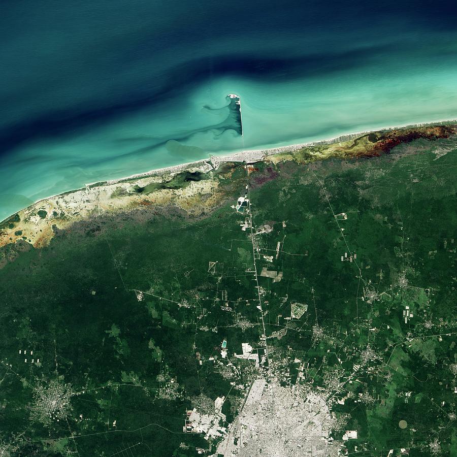
Progreso Pier

by Nasa Earth Observatory
Title
Progreso Pier
Artist
Nasa Earth Observatory
Medium
Photograph - Photograph
Description
Progreso pier. Satellite image showing the pier (upper centre) that extends from the coast of Progreso, Mexico, into the Gulf of Mexico (blue-green). This pier is more than 4 miles long, making it one of the longest such structures in the world. Imaged by the Operational Land Imager (OLI) on the Landsat 8 satellite, on 5th November 2014.
Uploaded
June 30th, 2016
Embed
Share
Comments
There are no comments for Progreso Pier. Click here to post the first comment.


