Lorian Inland Delta And Swamplands

by Us Geological Survey/science Photo Library
Title
Lorian Inland Delta And Swamplands
Artist
Us Geological Survey/science Photo Library
Medium
Photograph - Photograph
Description
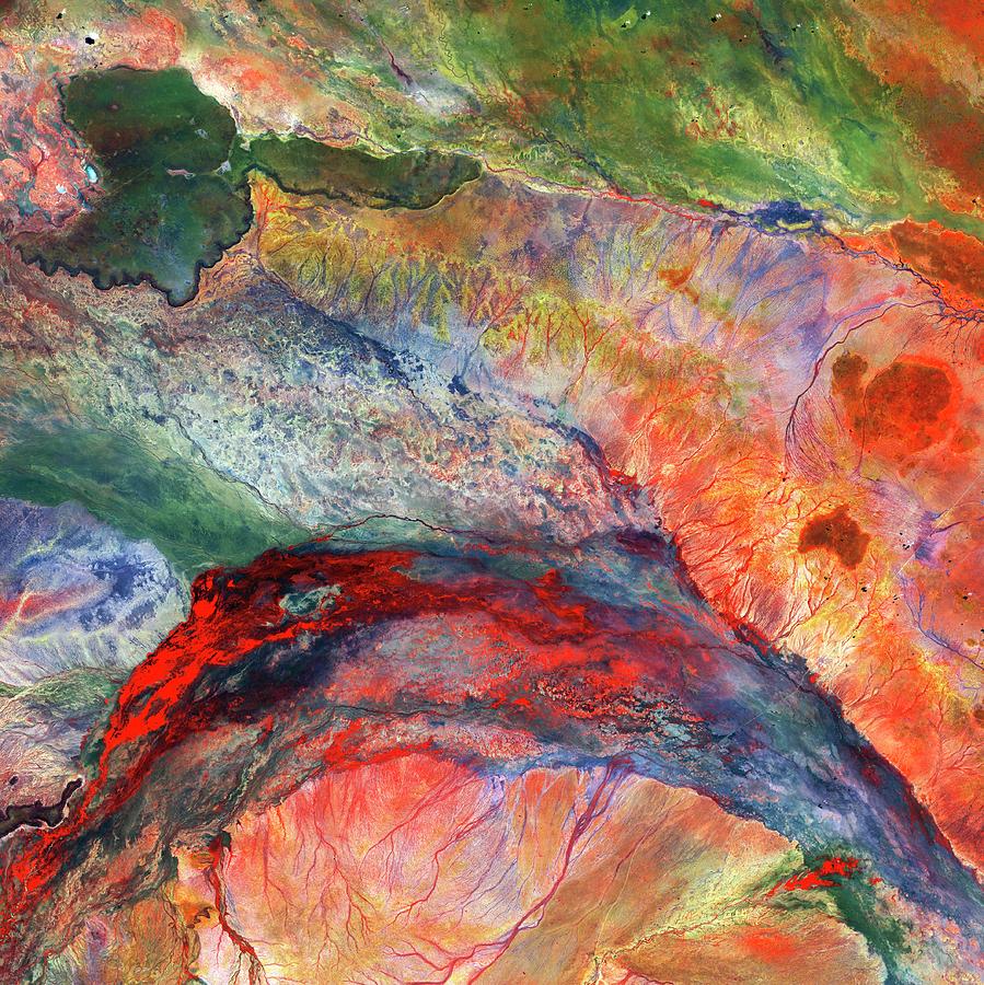
Lorian inland delta and swamplands, satellite image. In this area of north-eastern Kenya, water flows out of an inland delta into semiarid plains, forming the wetland and swamp patterns across lower centre. At upper left is a region of hard basaltic rock (dark colours) from an ancient lava flow. Image data obtained by the Landsat 8 satellite on 3 May 2014.
Uploaded
October 7th, 2018
Statistics
Viewed 551 Times - Last Visitor from Norwalk, CT on 04/24/2024 at 5:34 AM
Embed
Share
Sales Sheet
Comments
There are no comments for Lorian Inland Delta And Swamplands. Click here to post the first comment.


