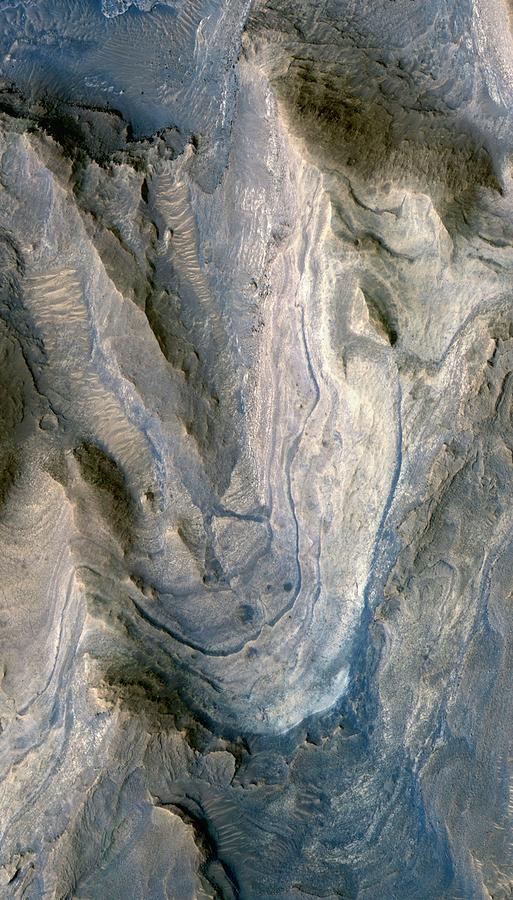
Gale Crater

by Nasa/jpl-caltech/u.arizona/science Photo Library
Title
Gale Crater
Artist
Nasa/jpl-caltech/u.arizona/science Photo Library
Medium
Photograph - Photograph
Description
Gale Crater. Satellite image of the Martian surface, showing layers of rock exposed in the lower portion of a tall mound near the centre of Gale Crater. The crater's mound of layered material is over 4 kilometres high, more than twice as thick as the stack of rocks exposed in the Grand Canyon on Earth. Gale Crater is approximately 152 kilometres (94 miles) in diameter. This image, from the High Resolution Imaging Science Experiment (HiRISE) camera on NASA's Mars Reconnaissance Orbiter, is centred at 4.9 degrees south latitude, 137.2 degrees east longitude. Imaged on 23rd April 2009.
Uploaded
September 15th, 2018
Embed
Share
Comments
There are no comments for Gale Crater. Click here to post the first comment.


