Forest Fire

by Nasa Earth Observatory
Title
Forest Fire
Artist
Nasa Earth Observatory
Medium
Photograph - Photograph
Description
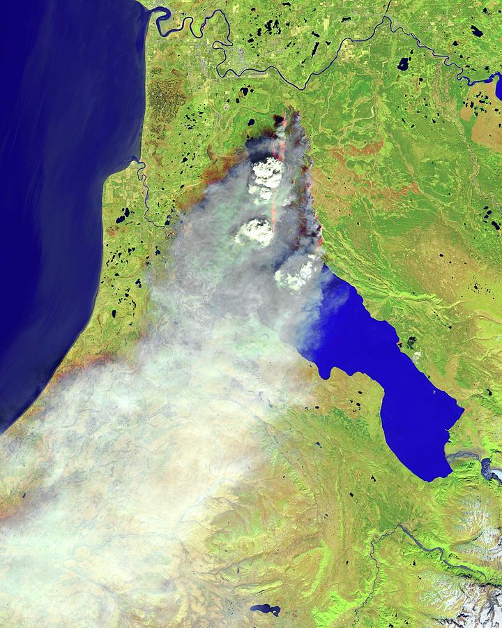
Forest fire, Alaska, infrared satellite image. North is at top. This fire broke out on the Kenai Peninsula, Alaska, USA, on the evening of 19 May 2014, Called the Funny River Fire, it had burned more than 43,000 acres by 17:30 local time on 21 May. Newly burned land is dark brown. The active fire area is orange. At upper centre are two pyrocumulonimbus clouds, thunderclouds formed over intense fires. Cook Inlet is at upper left, with Tustumena Lake at centre right. This image, some 60 kilometres across, is from the Operational Land Imager (OLI) on the Landsat 8 satellite at 13:13 local time, 20 May 2014. Natural-colour version: C022/8045.
Uploaded
June 29th, 2016
Embed
Share
Comments
There are no comments for Forest Fire. Click here to post the first comment.


