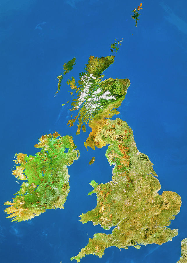
British Isles From Space

by Worldsat Productions/nrsc/science Photo Library
Title
British Isles From Space
Artist
Worldsat Productions/nrsc/science Photo Library
Medium
Photograph - Photograph
Description
The British Isles seen from space. This image is a mosaic of data gathered by Landsat satellites, with the colours processed to approximate to natural tones. Most of the UK appears as brownish green, indicating extensive agriculture. Brown areas in the West Country, Wales and northern England are sparse mountainous heathland vegetation. In Scotland, snow-covered mountains are seen with dark green coniferous forests below the snow line. Below this is a dark brown indicating moorland. Most of Eire has a mid-green colour indicative of rich pasture.
Uploaded
September 21st, 2018
Embed
Share
Comments
There are no comments for British Isles From Space. Click here to post the first comment.


