Previous Image

|

Next Image
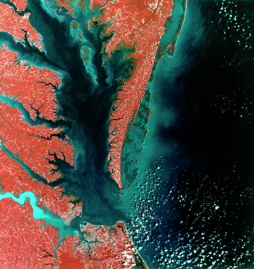
Chesapeake Bay #1 Photograph by Mda Information Systems/science Photo Library

Similar Images

Infrared Satellite Image Of Chesapeake Bay Estuary by Mda Information Systems/science Photo Library
Chesapeake Bay Crater by Planetobserver/science Photo Library
Chesapeake And Delaware Bays by Mda Information Systems/science Photo Library
Chesapeake Bay Impact Site by Nasa/science Photo Library
Chesapeake Bay Impact by Nicolle Rager-fuller, National Science Foundation/science Photo Library
Chesapeake Bay Maritime Museum by Jim West/science Photo Library
Chesapeake Bay Maritime Museum #1 by Jim West/science Photo Library
Chesapeake Bay by Mda Information Systems/science Photo Library
Us Colony Of Virginia by Library Of Congress, Geography And Map Division/science Photo Library
F-35b Fighter Jet by Us Defense
Atmospheric Pollutant Research by Peggy Greb/us Department Of Agriculture
Baltimore by Planetobserver/science Photo Library
Baltimore by Mda Information Systems/science Photo Library
Us Army Aerial Bombing Practice by Us Navy/science Photo Library
East coast of the USA, satellite image by Science Photo Library

Comments (1)

Irina Sztukowski

Irina Sztukowski

Congratulations on your successful sale!!

Recently Viewed

Chesapeake Bay #1 by Mda Information Systems/science Photo Library
Previous Image Next Image

Help

Contact Us

Frequently Asked Questions

Return Policy

Returns

Terms of Use

Privacy Policy

Location Settings

Cambridge, MA (United States)

Currency: USD ($)

Units: Inches

Stay Connected

Sign up for our newsletter for exclusive deals, discount codes, and more.


Copyright © 2024 sciencephotogallery.com - All Rights Reserved - Website Powered by Fine Art America / Pixels - Original Source - Tapestries