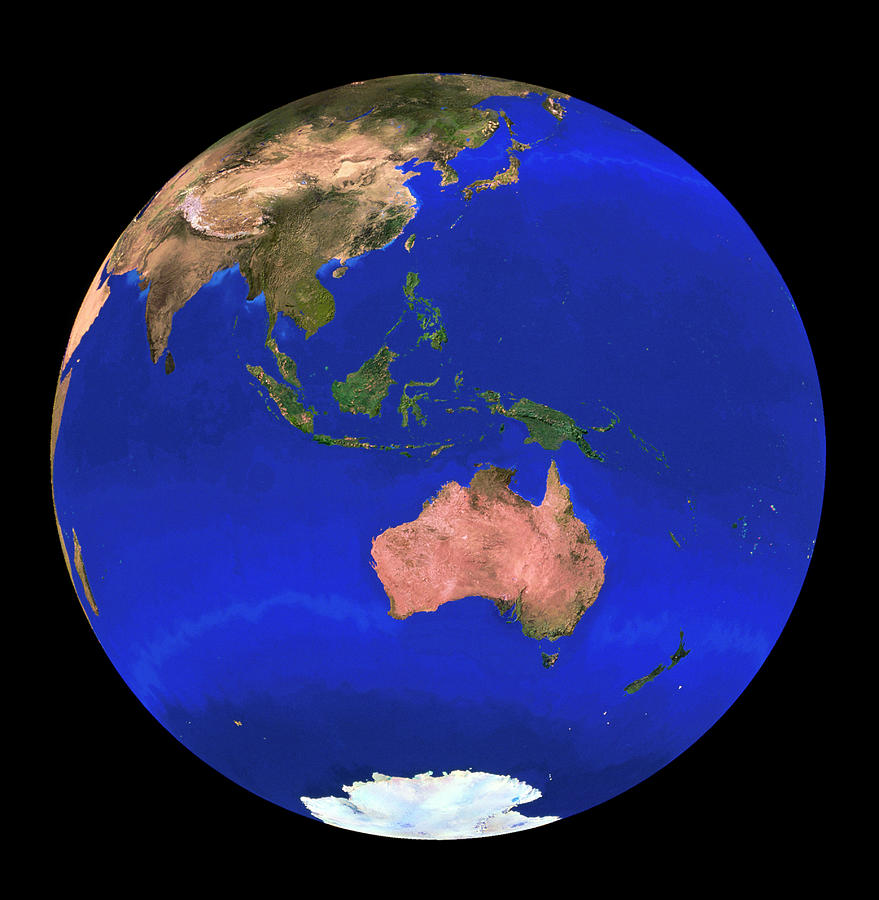
Whole Earth Noaa Satellite Mosaic (1km Resolution)

by Copyright 1995, Worldsat International And J. Knighton/science Photo Library
Title
Whole Earth Noaa Satellite Mosaic (1km Resolution)
Artist
Copyright 1995, Worldsat International And J. Knighton/science Photo Library
Medium
Photograph - Photograph
Description
Whole Earth centred on Australasia, showing Australia, the Philippines and Asia. This image is a combination of hundreds of images acquired by NOAA weather satellites from orbits some 820 km above Earth. Each frame has a resolution of 1 kilometre. The mosaic of frames was then combined with a high-resolution digital elevation model. To emphasize relief features, the elevation model was stretched by a factor of two, and simulated solar illumination added. The Antarctic ice cap is white (at bottom).
Restrictions:
Uploaded
September 24th, 2018
Statistics
Viewed 395 Times - Last Visitor from New York, NY on 04/18/2024 at 6:29 PM
Embed
Share
Sales Sheet
Comments
There are no comments for Whole Earth Noaa Satellite Mosaic (1km Resolution). Click here to post the first comment.


